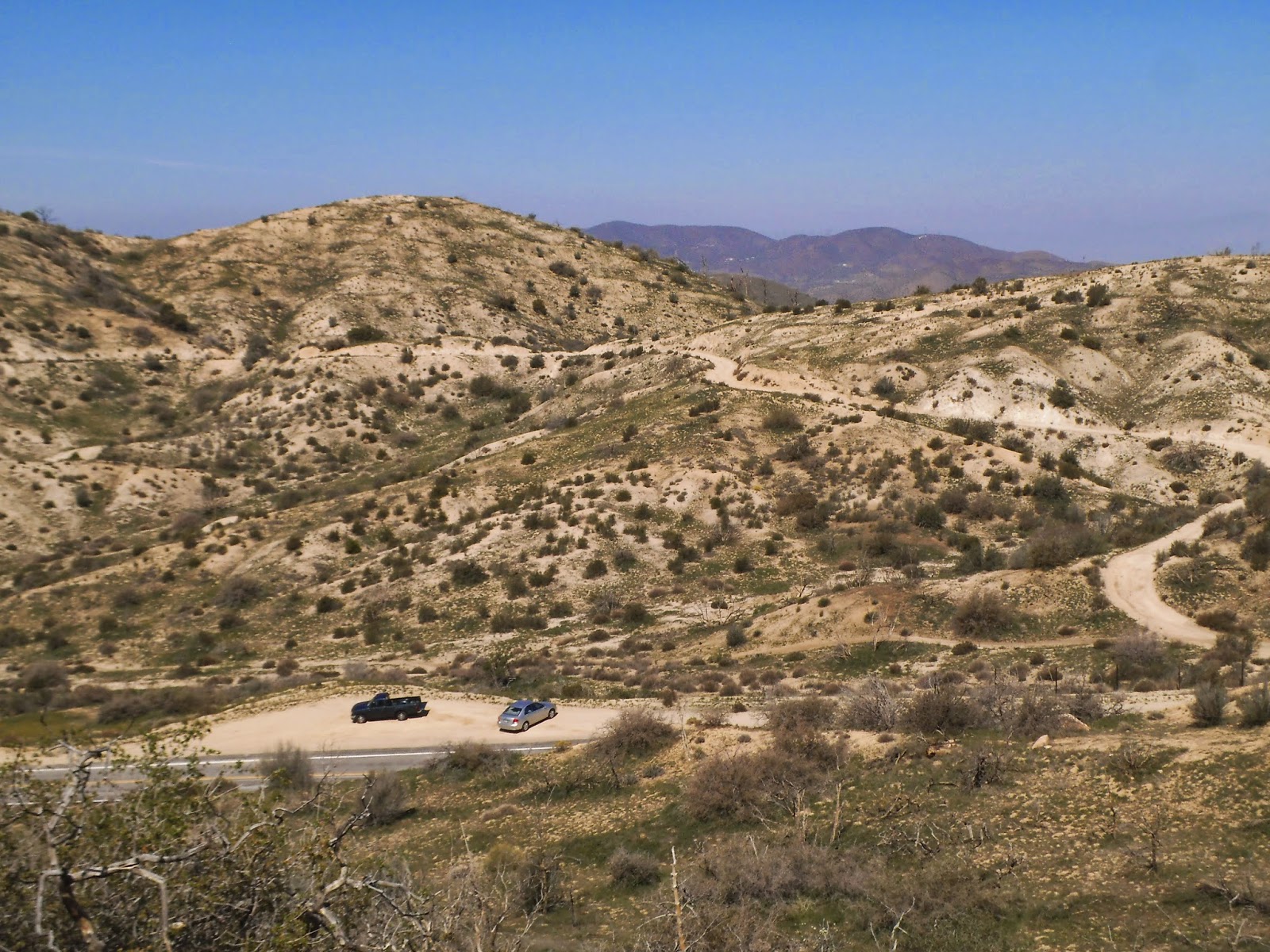
I parked at a turn out on Mt. Emma Road between mile marker 1.86 and 2.19 on the North side of the road. This photo is taken from the trail leading to Mt. Emma.

The trail is directly across the street from the parking turn out. There is an Angeles National Forest boundary sign to the left of the trail. Follow the trail up.

Boundary sign to the left of the trail head.

After nearly ten minutes on the trail, it intersects with an old fire road. There is a pile of rocks at the intersection. Turn left here and follow the fire road to the top.

This is a view from the pile of rocks. Follow the fire road to the top of Mt. Emma, at the right of the photo. Although only a mile in length, the trail gets quite steep with loose rocks in a few places. Watch your step in the steep spots.

Roxy taking a break, waiting for the old guy to catch up.

At the summit, is a pile of rocks with the Summit Log. It took me a total of 42 minutes to get to the top.

The Summit Log is in the canister. Bob, KB6CIO, educated me earlier in the week on the summit logs as I thought the canisters were used for Geocaching. I signed in and made an entry that I was on a SOTA adventure.

The Mt. Emma Benchmark is located next to the pile of rocks at the Summit Log.

I used this dead tree to support the "Jacklite" for my antenna.

I had the 20m antenna running North to South. I had the other end tied off with some rope to another dead tree.

It took a few attempts to get this staged, action shot, of me working 20m. I would set the timer on the camera and run to the radio.

View of Lake Palmdale down below. There were some really good views of the AV and surrounding mountains from Mt. Emma.

The fire burned and killed all of the trees when it rolled across the mountain. There are plenty of dead trees to support an antenna. The tallest was probably the one I used to support my Jacklite, at about 15 feet or so.

I had a really good time walking around and exploring on top of Mt. Emma. I am always amazed at how the terrain changes when a hot fire burns through. The weather was perfect today with the temperatures in the low 60's and a slight breeze. Made a Summit to Summit activation with Hal, N6JZT, who was on W6/CT-087. If you decide to do this hike in the summer when it is hot, be careful, as there is not shade on this trek.
I had the following contacts on 20m:
AA7DK, W7OIL, W0MNA, NS7P, W7CNL, NA6MG, KA6AIL, K0YO, K7NEW, AA5CK, K9ZMD, AE5QB, KA5PVB, KD0VPR. Thank you to all chasers!
EXCELLENT POST. Thank you for all the hints about the trail and in particular the information about a 'summer' activation!
ReplyDelete