Wednesday, October 22, 2014

Mt. Williamson W6/CT-011

Took a nice hike up to Mt. Williamson on Friday, October 17, 2014.  I parked at Islip Saddle (34 21.427N, 117 51.062W) at about 0630 and hit the trail shortly after arriving.  The weather was on the cool side and made for a nice hike.  The trail head is at 34° 21.426'N 117° 51.088'W.  The trail, just over two miles, is in good shape and easy to follow.  The elevation to the top is about 1600'. It took me about 1:30 to get to the top, taking several breaks to catch my breath and take a few pictures along the way.  There is one geocache on top and another about a quarter mile away. The return trip was 48 minutes.


As I began to climb, I turned around and could see Mt. Islip, W6/CT-10, which I activated a couple weeks ago.


Here is my first look at Mt. Williamson as I climbed the steep trail.


Roxy was taking a break as she waited for me to catch up before climbing the final stretch to the top.


There is a pile of rocks that mark the summit.  There should have been a summit log, but I couldn't find it.  The actual peak is somewhat bare, but there are plenty of trees within the activation zone for an antenna.  Before setting up, I had a Summit to Summit on 2m with N6JZT, Hal, and NA6MG, Dan, who were on Bare Mtn. W6/CT-082.


I found some nice trees for my antenna, which I ran from north to south across the summits.


As I settled in for the activation, Roxy settled in for her customary activation nap.


There are many nice views of surrounding mountains, including SOTA summits.  The first picture is Kratka Ridge W6/CT-014.  The second photo, I think. is Twin Peaks W6/CT-064 (may be incorrect on the mountain).  The final picture is Waterman Mtn., W6/CT-012.


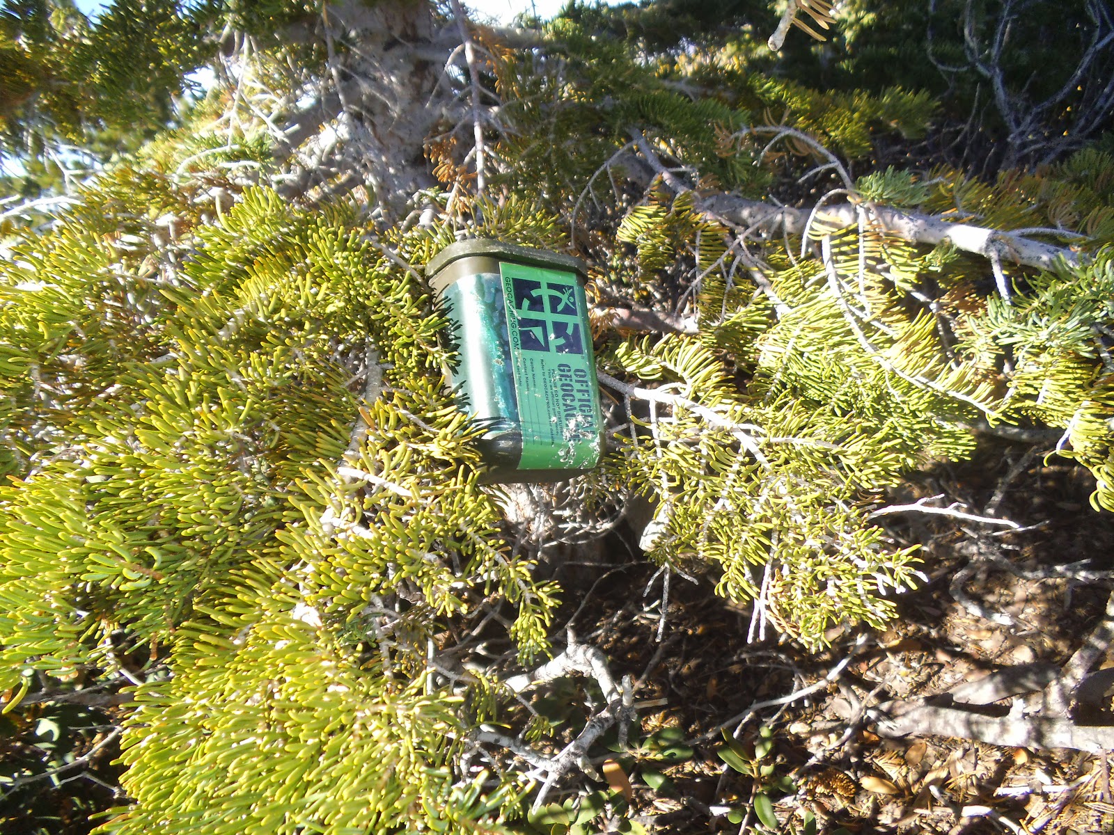
There is one geocache on the summit and another cache 1/4 mile away on the other Mt. Williamson.


I was hiking back from the second cache, approaching Mt. Williamson, when I thought I saw something out of the corner of my eye.  I scanned the sky and saw a glider flying around Mt. Williamson and the surrounding valleys.  Cool!


The trail down was much easier than going up.  There is a section that is rocky.  Use caution, as it would be a rough ride down if you slip.


I had contacts on 2m, 20m, 40m, and 12m.  Two S2S on 2m and two contacts on 12m from British Columbia.  Thank you to all chasers and spotters.

2m - N6JZT, NA6MG, KB6CIO

20m - W0MNA, NS7P, N6AKI, KI0SK, W7CNL, AE5B, K8LJG, K6EL

40m - W7RV, K6TUY, N6AKI, KN6CCW, WA6RIC, K6CMG, WB0USI, NK6A

12m - VA7ZOO, N6AKI, VE7XWA, W0ERI, KB1HXO, WB0TVY   

Friday, October 10, 2014

Waterman Mtn. W6/CT-012


I had initially planned on hiking Mt. Williamson this week.  I am still recovery from a strained calf and I read that the hike to Williamson is steep.  I decided on Waterman Mtn.  I have wanted to make this hike for many years.  It is about a 1300'  gradual elevation gain over 2.5 miles.  It was still dark when I arrived at the parking location.  I am thankful I had my GPS, as I did not see the parking lot in the dark.  It was a nice, cool morning, excellent hiking weather.  I took my time hiking up so as not to further injure my calf.  It took me 1:34 to get to the top and one hour on the return trip.  I took a couple breaks to enjoy the views and check the geocaches on the way up.  I almost hit a deer on the drive up, when I came around a sharp curve and there was a young buck in the middle of the road.


It is about an hour's drive up Hwy 2, Angeles Crest Highway, to the parking area at the Buckhorn Day Use Area.  There is a large sign in front of the day use area.  It has restrooms and several picnic benches, affording nice views of the surrounding mountains.  If you choose to park here, an Adventure Pass is required.  GPS coordinates for the parking area are  N34° 20.736' W117° 55.238'


Across the street from the parking area is dirt load with a gate.  Walk past the gate a short distance to a trail that intersects the road.  Turn left onto the trail.  The trail is marked by a sign that reads "Mt. Waterman Loop."  The GPS coordinates for the trail are N34° 20.668' W117° 55.292'.


As I continued on the trail, I got a nice view of Mt. Wilson.  I am a member of the PAPA Repeater System and we have a repeater on Mt. Wilson.  I can hit one of our repeaters from most of the mountains in the Angeles National Forest.  As I always hike alone, I like to check in just to make sure I can hit a repeater in case I have an emergency.  I had a brief conversation with Steve and continued up the trail.


I took a break at the first of two geocaches along the trail.  The geocache is in the center of the picture and was well hidden.  In addition to my GPS, I always bring a map


My next break was at the second geocache.  It is located at the cutoff to Twin Peaks, W6/CT-064.  Take the trail to the right to continue to Waterman.  The GPS coordinates for the cutoff are N34 20.134 W117 55.718.


As I continued up the trail, I came to this fork.  The right, just past Roxy, will take you on the Waterman Loop and back towards the ski area.  The left, which I took, continues to Waterman Mtn.  GPS coordinates at the fork are  N34 20.217 W117 56.058.


There are many places within the activation zone to set up your station.  There are plenty of trees for your antenna.


I selected to set up on these rocks.  There was plenty of shade and trees for the antenna.  I often wear the bright colored shirt so that if I have an emergency, the rescue teams can spot me easier.  The Montrose Search and Rescue team, assigned to Crescenta Valley Sheriff's Station, performs many rescues and recoveries in the Angeles National Forest throughout the year.


I ran my antenna between the trees, from North to South.  I left my throwing arm at the house, as it took me several attempts to throw the rock/rope over the right branch.

APRS.FI tracked my hike up the mountain.  However, I was unable to spot on SOTAwatch with the APRS today.  As I was setting up the radio, my first contact was with Hal, N6JZT, on 2m.  The 20m band was sketchy this morning, but I made a lot of good contacts, including a Summit to Summit, with K2JB, from W4C/WM-010, in North Carolina.  I only had two contacts on 40m.  I usually get about eight on 40m.

I am glad I finally hiked to Waterman Mountain.  It was a beautiful hike with many trees and great views.  Thank you to all chasers and spotters.

2m - N6JZT, K6QCB

20m - NE4TN, KA5PVB, K2JB, NS7P, AE4FZ, N6JZT, N4EX, KG3W, KC5ADG, KJ0SK

40m - KB6CIO, W7RV

Summit to Summit - K2JB, W4C/WM-010, Steestachee Bald, North Carolina