
The hike is about 5 miles round trip. I recommend doing this hike in cool weather and being in fairly good shape. The 1.25 miles is mostly shaded as you walk below trees, dropping about 700 feet. you reach a saddle and then climb up nearly 900 feet over a series of switchbacks to the peak. The switchbacks have no relief from the sun, but offer nice views.

After parking, walk to the end of the parking area and follow the old road past a fence, which quickly turns into a trail. The trail is in relatively good shape.


As I continued down the trail, I could see Antimony Peak approaching.


I reached the saddle and it gave me a good look of the switchbacks and the climb I had ahead of me.


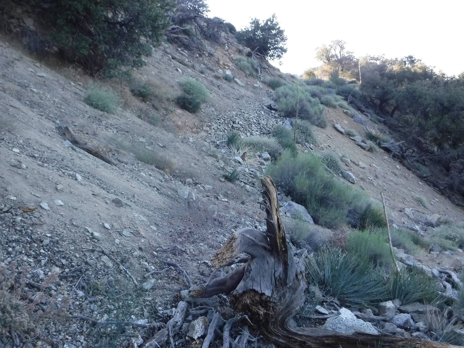
The switchbacks were slow going at the beginning due to all the rocks on the trail.
At one point, I saw what looked like mountain lion tracks. If so, it looks like he had a tasty meal.

