Saturday, May 9, 2015

Grass Mtn W6/CT-130

Today marked my 50th activation with SOTA!  Thank you chasers!  After last week's hike to Smith Mtn., I felt a little guilty as although Roxy did fine on that hike, she could barely walk for the next three days.  I had read on Hal's (N6JZT) blog that Grass Mtn was  a drive up a fire road, so I thought I would give it a try.  It was just under an hour from my house to San Francisquito Cyn Rd and 6N04. There is a well marked sign at 6N04.  Turned left and followed the dirt road up for just under three miles to Grass Mtn.

  
I had no problem driving up the dirt road in my 2wd Toyota pickup, but I was a little concerned due to the rain the last couple days.  The road was in good shape.  I recommend anyone driving this road to go slow, as there are many blind turns and steep drop offs.  I came around one turn and nearly had a head on collision with three dirt bikes.


I was glad to see the gate was open (N 34 38.382 W 118 23.036).  I was even more relieved when it was open on the way back down.


I continued on the road to the fork (N 34 38.541 W 118 24.269).  Going right continues on 6N04. Left is 6N05.  I went left to the top.


The Pacific Crest Trail crosses the road.  On San Francisquito, I saw at least 15 PCT hikers today. They start in mid-April near the Mexican border.


I arrived at the top and set up the station.  This was the first time I brought a chair.


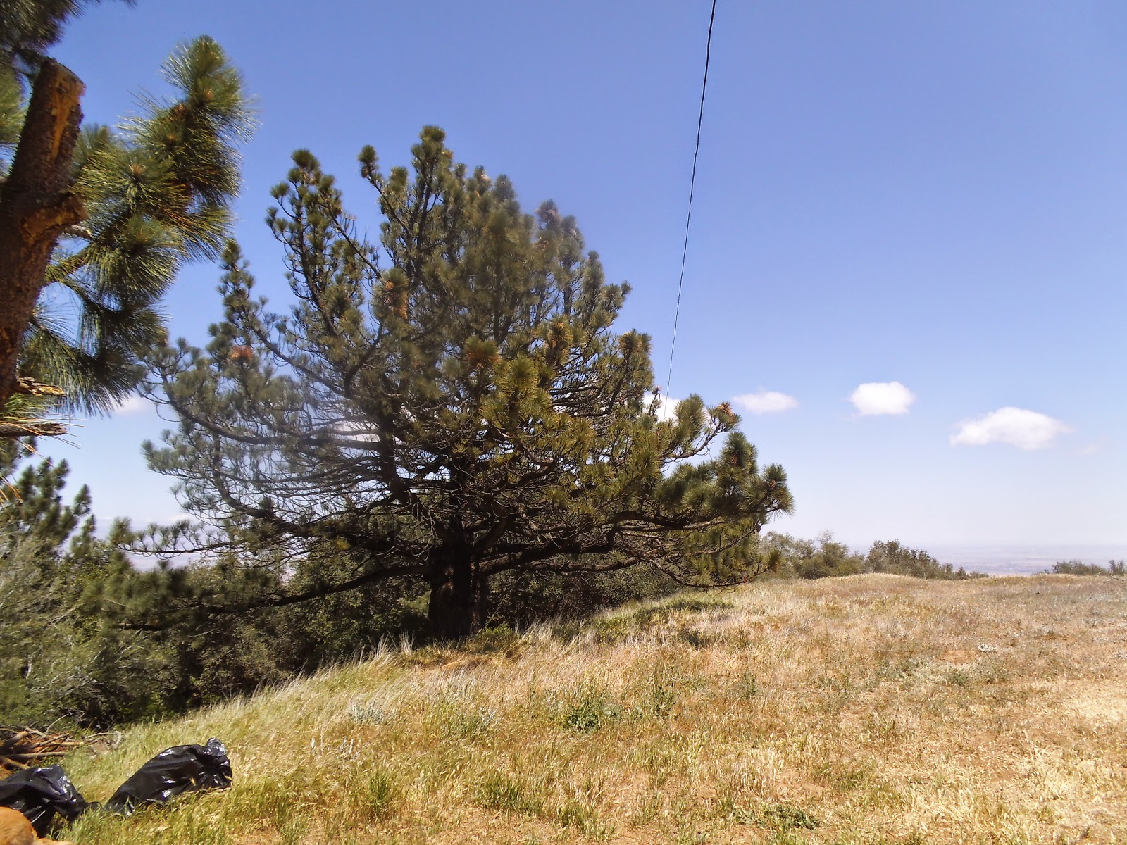
No need for the poles as there were plenty of trees for the antenna.


There were some nice views from the top.


There were two geocaches within a short distance from the top.


While I was doing the activation, Roxy found the shade from a nearby tree and took a break.

 
After working 20m and 40m ssb, I tried cw (slowly) on 20m.  Made a contact with Dan, NA6MG on W6/SD-068 for my first cw Summit to Summit.  I will continue to work at cw after the ssb activation.  If you contact me, please keep it at/below 10wpm with plenty of spacing, keeping the contact to call sign and signal report.

Thank you chasers for the contacts today!

20m - VA7JML, KA5PVB, NS7P, W0ERI, W0MNA, W7CNL, K8TE, WA2USA, W5ODS, W5MRM. W0CP

20m-cw- NA6MG (Summit to Summit)

40m - W7RV, K6TUY

Sunday, May 3, 2015

Smith Mtn. W6/CT-120

It was under an hour drive from my house to the trail head of Smith Mtn.  Take Azusa Ave (Hwy 39) north from the 210 fwy to the large turnout on the left side of the road.  It is three miles to the saddle and under a half mile from the saddle to the summit.  It took me 1:15 to reach the saddle and an hour from the saddle to the top.  It was a warm day and I had skipped dinner the night before as well as having only three hours sleep before the hike.  I was tired before I started and i really struggled on this hike.


There is a large parking area with restrooms ( N 34 17.244 W 117 50.560 ).  Smith Mtn is seen in the background above my truck.


The trail starts behind the restroom and is a gradual climb to the saddle with an elevation gain of 900 ft over three miles.  This is a really nice hike with several views of Smith Mtn and the surrounding mountains on the way to the saddle.  The trail is in good shape. Roxy went ahead and waited for me in one of the few spots that had some shade.  The closer I got to the saddle, the steep Smith Mtn looked. 


We arrived at the saddle in 1 hr and 15 min ( N 34 17.192 W 117 51.723 ).  We took a nice break here, giving Roxy some water and I took off my fleece pullover as it was getting quite warm. 


I looked up at Smith Mtn and thought it didn't look very steep.  As we began to hike up the fire break, I was wrong, it was steep.  As we got near the top, the faint, but easy to follow trail, took us over several rocks.  Roxy did much better than I did over this part of the trail.  I had been concerned she would not be able to make it over the rocks.  It was an 800 ft elevation gain from the saddle to the peak.


Finally made it to the top and located the bench mark.  I took a long break before I set up the station. I just took off my pack and sat down when I heard Hal, N6JZT, on 2m over at Pacifico Mtn.  We made a Summit to Summit contact on 2m.  I also spoke with Charles, KM6CEM, on 2m.  Feeling a little rested, I set up that station at the bench mark.  


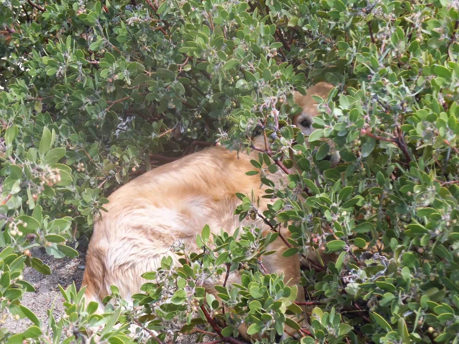
There were some nice views from the top down towards the saddle, the surrounding mountains, the trail head, and I got a good look at the trail I had been on.  As I activated, Roxy cooled off and took a nap in a bush.


After making some contacts on 20m ssb, I switched over to cw without spotting to get a little practice.  I was surprised when I heard Dan, NA6MG, respond for my first ever cw contact.  Thank you Dan for the contact at a speed I could understand.  I have been somewhat apprehensive to do a cw activation, as when I have listened, everyone is so fast.  I will keep practicing and hopefully improve.  I was really hot and tired from the hike up and headed down, not spending as much time for an activation as I had planned.

I made the following contacts.  Thank you chasers!

2m - N6JZT (Summit to Summit), KM6CEM

20m - NS7P, NK6A, NM5S, W0ERI, W2USA, NA6MG (cw)

40m - N6KZ, W7RV

Tuesday, April 28, 2015

Bare Mtn W6/CT-082

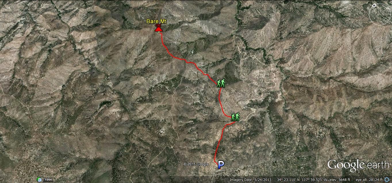
I wanted to activate Bare Mtn before the heat of the summer.  It took me about an hour to get to the parking location from my house via the Angeles Crest Highway.  It was a slow, dangerous drive, as I was driving through the low clouds with minimal visibility.  I almost turned around, but decided to just take it slow.  I arrived at the parking spot ( N34° 22.258' W117° 59.824' ).  Like most places during the week in the Angeles Forest, I had the area to myself.


After parking, I hiked around the gate and followed the dirt road.  It is a nice walk on the road between a grove of pine trees.


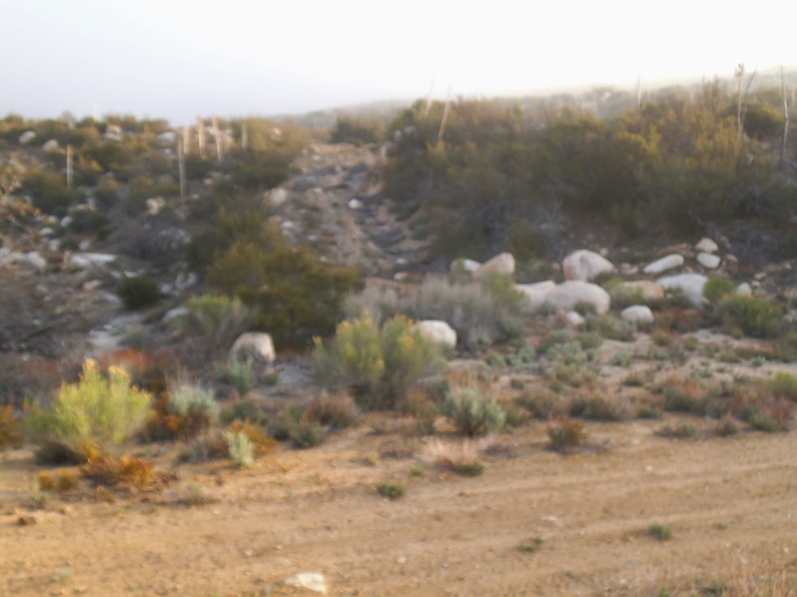
After following the road for about 3/4 mile, there is an old fire break to the left at N34° 22.600' W117° 59.300'.  There is an old metal sign on the right side of the road that serves as a good marker.  Follow the old fire break to the left.


I am glad I brought my trekking poles (2nd hand ski poles that work great!) as there were some very steep parts on the fire break and some rocky soil in places.


I am glad I had my GPS/Map, as the clouds moved in again for a short time, limiting visibility, and there were a couple false summits.


After hiking the steep, false summit, I had a good view of Bare Mtn. about a 1/2 mile away.  This final stretch was a nice hike with views of the surrounding valleys.


After signing the Summit Log, I set up my station.


I started on 20m and had some good contacts.  As I was nearing the end of the 20m activation, the temperature dropped rapidly, about 10 degrees.  The clouds began moving around the mountains and I felt like I was watching one of my favorite Steve McQueen movies "The Blob."


Due to the rapid change in weather, I had to cut the activation short.  I spent a very short time on 40m and 10m.  Before packing up, I briefly tried to make a 20m contact on cw.  As I am still in the learning stage of cw (around 10wpm or less) I am not sure if I was relieved or disappointed when I didn't make a cw contact.  I will try cw again next time I am out.  After packing up, Roxy and I double timed it on the way back to beat the rain.  It is always a relief to see my truck still at a trail head upon the return.


I was able to spot via APRS and SMS from Bare Mtn.  I would recommend doing this hike in cool weather and bring plenty of water.  Thank you to all chasers!

20m -  KF7JQV, W0MNA, W0ERI, K7ZO, NS7P, N0EVH, N7KRN, K0LAF

40m - AA7DK, W7RV

10m - W4DOW, NE4TN