Sunday, January 4, 2015

Harold Beacon Benchmark W6/CT-126

Between the holidays, change in assignments at work, and a bad cold, I haven't been out for an activation in a while.  I tried this peak a couple weeks ago, following the directions in Dan's post (NA6MG).  On that trip, I forgot my map and had entered the wrong SOTA coordinates into my GPS.  I spent an hour driving around the numerous dirt roads.  When I got home, I loaded eight coordinates into my GPS so that I would not get lost on the dirt roads.  I also entered the correct SOTA coordinates.  The red line on the Google Earth Map below, is 3.15 miles on the dirt road.  The green line is a .74 mile hike (according to GPS) from the parking area to Harold Beacon Benchmark. It was in the mid 30's when I arrived.


The coordinates for the parking area are N34° 31.786' W118° 09.375'.  From the parking area, follow the STEEP trail up to the ridge and go left (S/W) along the ridge.  After the initial steep climb, it is an easy walk along the ridge.


After the steep climb, follow the trail to the summit.  Here is the final approach to the summit.  An easy stroll after the steep climb.


On the summit, I saw three Los Angeles County survey markers.


Roxy wasted no time settling in for the activation.


I used this bush to support the 16' "Black Widow" pole.  I think next time, I will have the matchbox positioned at the lower end of the slope.  I have set it up both ways and it doesn't seem to make much difference.


With the recent rain/snow and winds the last couple weeks, there were some great views.  Here is a view of Sierra Pelona W6/CT-116.


There were also views of the California Aqueduct and Lake Palmdale.  Lake Palmdale is a private fishing lake for members of the Palmdale Fin & Feather Club.


It is hard to see in this photo, but in the extreme distance just below the far off mountain, I could see the windmills near Tehachapi.            


Here is a view of the ridge from the summit.  The second photo is from the top of the steep trail.  The photo doesn't do it justice.  When I had finished hiking down the steep trail, which was more difficult than going up, two motorcycles stopped at the top.  I was impressed as one by one, they coasted down the trail without falling.


Radio conditions were less than ideal yesterday.  I had 10 contacts on 20m from all over the country and one on 2m.  Not sure what happened, but when I put up the 40m antenna and posted a spot, no one could hear me.  I heard NA6MG, Dan (Southern California), and W7RV, Tom (Arizona), but they couldn't here me.  No contacts on 40m or 12m.

Thank you to all chasers and spotters!

2m - KA6AIL

20m - W0MNA, W0ERI, WA2USA, KA5PVB, NE4TN, AE5B, NS7P, K9ZMD, N4EX, KC3RT

Saturday, November 15, 2014

Reyes Peak W6/CC-005

The drive to the Reyes Peak trail head took 2:13 from the Crescenta Valley, including a stop at McDonalds in Gorman.  Some directions recommend going up the 33 through Ojai.  I decided to take the route via Frazier Park as I am quite familiar with that route and estimated it would take about 2 hours to get to the trail head.  It was a nice cool morning when I arrived at the parking spot ( 34° 38.090'N  119° 17.572'W ).


On the drive from the Lockwood Valley, I came across this farmer who had three dogs in the back of his truck.  Roxy was giving them a good look as we passed.


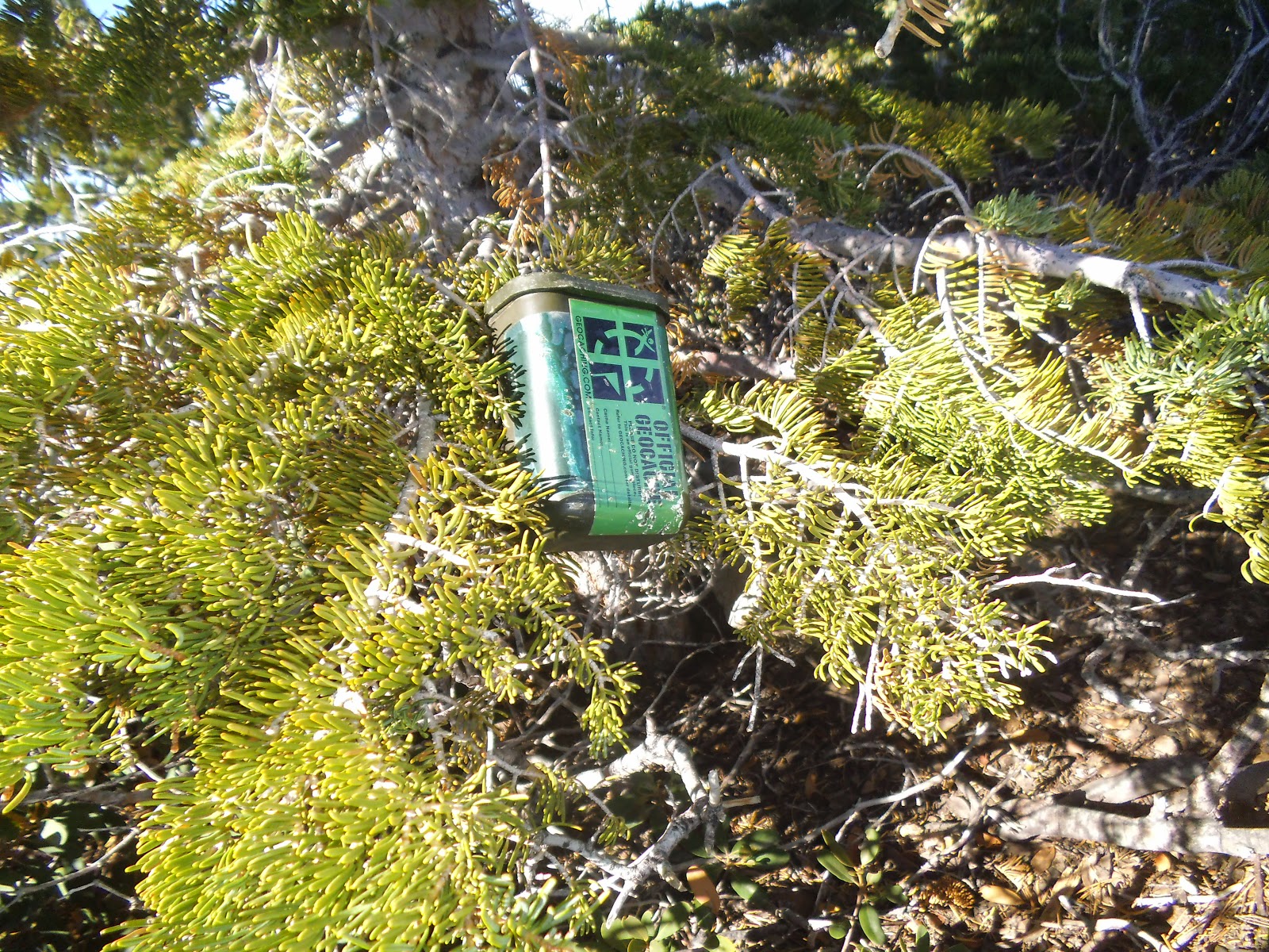
I stopped for a few geocaches along the trail.


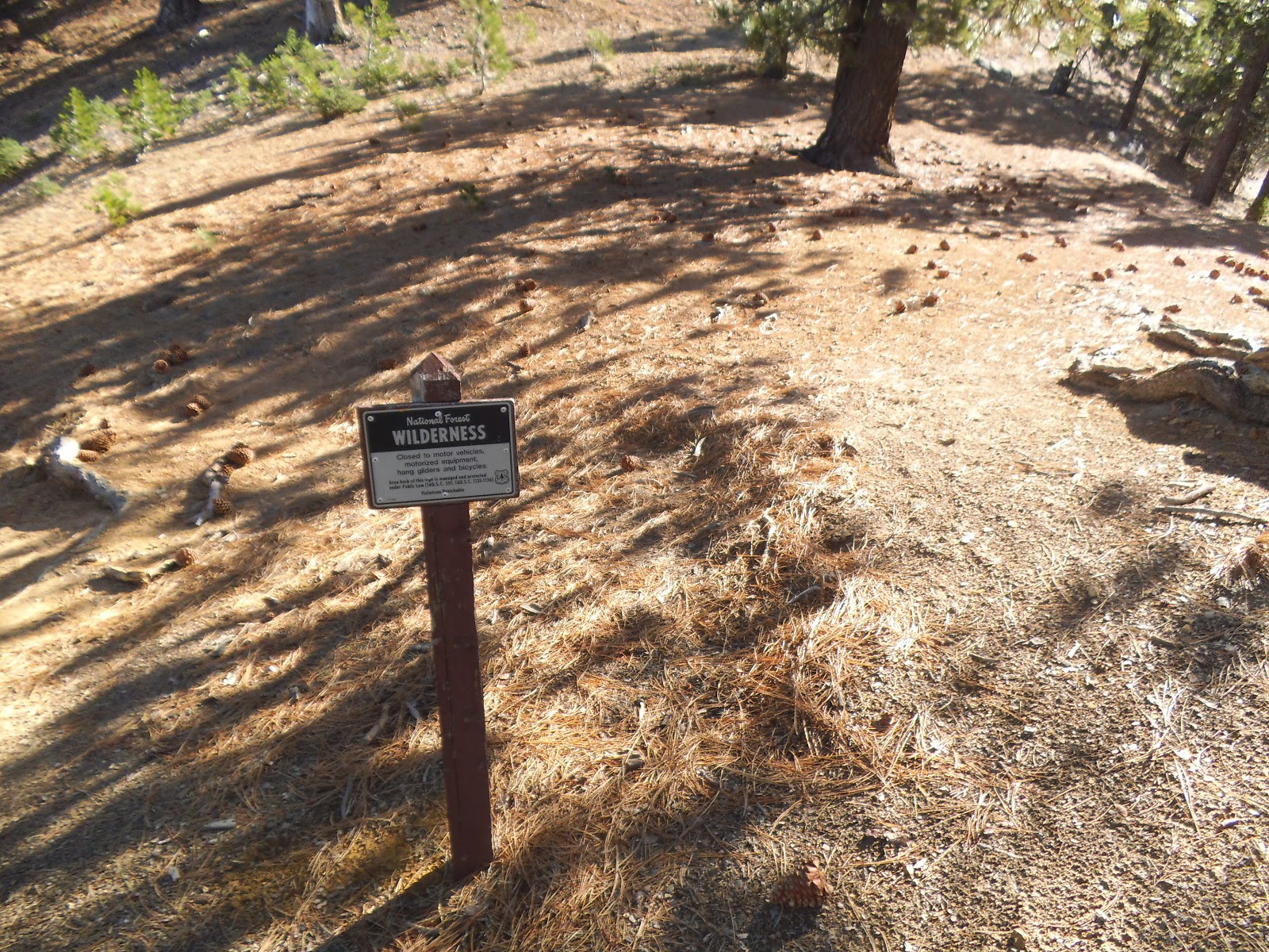
Directions to the trail head and Reyes Peak can be found at Sierra Club's Hundred Peaks website Reyes Peak .  The driving directions are via Ojai and I hiked Route 1 in the Sierra Club directions.  Follow the dirt road to the trail head.  There are two trails to the left of the dirt road.  Take the right trail, as the left trail will lead to Haddock Mountain.  Take the trail to the right of the Wilderness sign at  34° 38.114'N 119° 17.422'W.  The trail is very steep for the first 1/4 mile and then becomes a gradual, pleasant hike to the peak.

 
There are some nice views along the trail.  Reyes Peak as seen from a false summit.


The actual peak is on the rocks where the benchmark and summit log are located.


I set up just below the peak, well within the activation zone.  There are plenty of trees for an antenna.


As I began the activation, Roxy was out cold for her nap.


I had no luck on 2m with any contacts.  I was able to hit the PAPA repeater on Oat Mountain.  I set the wrong time on the SOTA  Alert, as I forgot to make the adjustment for the recent time change. Thank you chasers and spotters!

20m - N6AKI, W7RV, KF7JQV, K6HPX, WG0AT, WB5USB, KA5PVB, KY7S, W0MNA, W0ERI, K6TUY, N6JZT, NS7P

40m - NA6MG, KB6CIO, KN6CCW, N6AKI, K6EL, K6TUY, KG6URJ

12m - N6AKI, KG6URJ, AI6J, VE7VZ

Tuesday, November 4, 2014

Table Mtn W6/CT- 067

Halloween brought a nice day for a SOTA activation in the Angeles National Forest.  My wife and I were going to a Halloween party in the evening, so I was looking for a SOTA spot that wouldn't wear me out.  Table Mtn was a nice and easy drive from my house through the ANF.  In years past, there was already snow and the ski lifts were open.  In this drought season, the lifts may not open this year.

The Mountain High North Resort at Table Mountain originally opened in 1938;  When Roxy and I arrived, we had the parking lot to ourselves.


In addition to ski slopes, Mountain High North has three "disc" (frisbee), nine hole courses.  The disc golf opened in 1999 and is open during the summer.  Of course, I didn't drive to  Mountain High for skiing or disc golf, I came for an awesome SOTA adventure!


It was a cool, clear morning and I walked the road for .29 miles before I cut up the side of the hill to the peak.  It was an easy walk with a 125' elevation gain.  The route up is marked in red and the route down, .16 miles, marked in yellow.


There are many places within the activation zone to set up a station, as well as many trees for antennas.  I set my radio up at the base of this tree next to Roxy.  I ran the antenna to a tree north of this spot.


After completing 20m, I had a pleasant surprise from Mark, K7MAS, and his wife, who hiked up for an activation.  They were down from Washington.  It is always nice to run into fellow SOTA activators when on a summit.


 Seeing the non-operating ski lift, brought back memories of Kratka Rdige.


There are some nice views of the other Mountain High ski slopes and surrounding mountains.


After the activation, I scouted the area near Pine Mountain, W6/CT-040.  While at the trail head, I "chased/contacted" Martin on 2m, K7MAS, who had moved over to Cricle Mtn W6/CT-071.  While driving to the Pine Mtn trail head, I passed some interesting sites going through the Mountain High ski area.  The lower photo is Pine Mountain.


Another awesome SOTA adventure.  I could hear several SOTA chasers on 2m, but I had no luck contacting them.  I made the following contacts on 20m and 40m.  Thank you chasers and spotters!

20m - N4EX, VE2JCW, W4TZM, W0MNA, W6PNY, NS7P, N7KRN, KD0MQO, KB5PVB, KF7JQV, WA2USA

40m - KB6CIO, K6EL, WA6RIC, K6CMG, W7RV, AA7DK, KN6CCW, NA6MG, K6TUY, KH2TJ, NU6T, KK7EL, WA6KYR, NK6A, W7USA

Wednesday, October 22, 2014

Mt. Williamson W6/CT-011

Took a nice hike up to Mt. Williamson on Friday, October 17, 2014.  I parked at Islip Saddle (34 21.427N, 117 51.062W) at about 0630 and hit the trail shortly after arriving.  The weather was on the cool side and made for a nice hike.  The trail head is at 34° 21.426'N 117° 51.088'W.  The trail, just over two miles, is in good shape and easy to follow.  The elevation to the top is about 1600'. It took me about 1:30 to get to the top, taking several breaks to catch my breath and take a few pictures along the way.  There is one geocache on top and another about a quarter mile away. The return trip was 48 minutes.


As I began to climb, I turned around and could see Mt. Islip, W6/CT-10, which I activated a couple weeks ago.


Here is my first look at Mt. Williamson as I climbed the steep trail.


Roxy was taking a break as she waited for me to catch up before climbing the final stretch to the top.


There is a pile of rocks that mark the summit.  There should have been a summit log, but I couldn't find it.  The actual peak is somewhat bare, but there are plenty of trees within the activation zone for an antenna.  Before setting up, I had a Summit to Summit on 2m with N6JZT, Hal, and NA6MG, Dan, who were on Bare Mtn. W6/CT-082.


I found some nice trees for my antenna, which I ran from north to south across the summits.


As I settled in for the activation, Roxy settled in for her customary activation nap.


There are many nice views of surrounding mountains, including SOTA summits.  The first picture is Kratka Ridge W6/CT-014.  The second photo, I think. is Twin Peaks W6/CT-064 (may be incorrect on the mountain).  The final picture is Waterman Mtn., W6/CT-012.


There is one geocache on the summit and another cache 1/4 mile away on the other Mt. Williamson.


I was hiking back from the second cache, approaching Mt. Williamson, when I thought I saw something out of the corner of my eye.  I scanned the sky and saw a glider flying around Mt. Williamson and the surrounding valleys.  Cool!


The trail down was much easier than going up.  There is a section that is rocky.  Use caution, as it would be a rough ride down if you slip.


I had contacts on 2m, 20m, 40m, and 12m.  Two S2S on 2m and two contacts on 12m from British Columbia.  Thank you to all chasers and spotters.

2m - N6JZT, NA6MG, KB6CIO

20m - W0MNA, NS7P, N6AKI, KI0SK, W7CNL, AE5B, K8LJG, K6EL

40m - W7RV, K6TUY, N6AKI, KN6CCW, WA6RIC, K6CMG, WB0USI, NK6A

12m - VA7ZOO, N6AKI, VE7XWA, W0ERI, KB1HXO, WB0TVY