Saturday, February 13, 2016

PT. 3853 W6/CT-165

The parking to CT-165 was about a 45 minute drive from my house.  I loaded up Roxy, stopped at Starbucks for a cup of coffee, and hit the road.  I exited on Agua Dulce Road from the 14 freeway and drove through a nice country feel community to Sierra Hwy. Once on Sierra Hwy, I followed Dan's (NA6MG) directions posted on the SOTA website for Pt 3853.  I turned left on Sierra Hwy, right on Mint Cyn Rd to Peterson Rd.  I turned on to the dirt road and had no problem driving up the steep road to a parking area near the towers.


From the parking area, my GPS had the hike at 2.36 miles each way.  The elevation gain from the parking area was 1225'.  It took me 1 hour and 9 minutes going up and about 45 minutes on the way back.  This is a nice hike in the winter, as it would be hot and exposed during the summer.  If you go in the warmer months, start out early, watch for snakes, and bring plenty of water.   


The dirt road is actually part of the PCT.  I always enjoy hiking on the PCT, thinking of those hikers that make the trek from the border with Mexico to Canada.  There was a large ranch below as well as the body of a large jet.


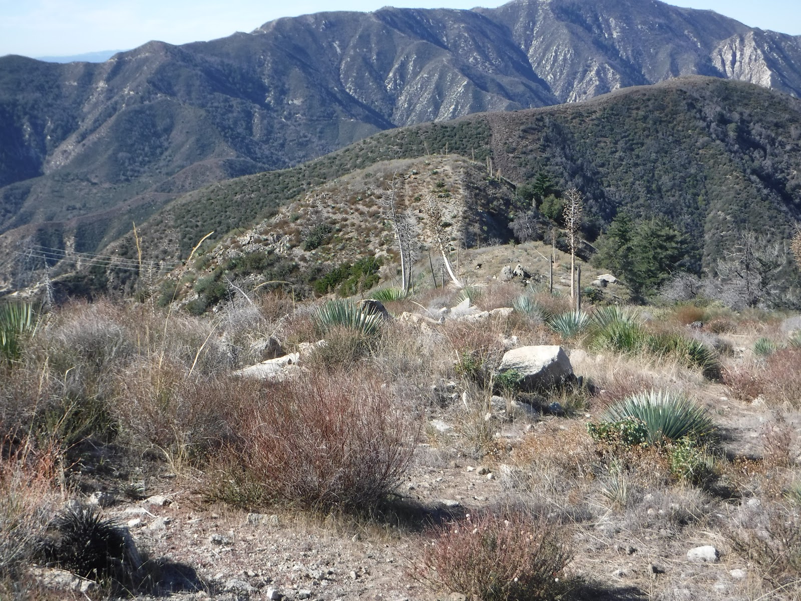
At N 34 31.600 W 118 18.808, there is a fork in the road.  Go left, leaving the dirt road to a fire break that follows the ridge line.  Pt 3853 can be seen in the distance in the center of the photo.


Continue along the trail until you get to another fork at N 34 32.215 W 118 17.942.  Take the trail to the right.  Follow the trail to the next fork at N 34 32.305  W 118 17.615 and follow the trail to the right.  The summit is a short, easy stroll from here.


The summit levels out and there are numerous places to set up a station.  The views are nice from the summit.


It took me a while to set up the antenna.  I attached the pole to old yucca trees and as I tightened the antenna, the yucca would break.  I finally attached the pole to the base of a bush.  My activation location provided nice views of Agua Dulce down below.  I had planned on trying out my new "10/20/40 Trail Friendly" antenna from LNR.  However, I thought I left it in the truck.  After setting everything up, I found it in the bottom of my pack.  I will try it on the next adventure.  I am always looking for ways to cut pack weight. 


It was a nice day for a hike to Pt 3853 due to the morning weather being on the cool side. It did warm up by the time I finished my activation and I had to take off my beanie and fleece pullover. Thank you to all chasers!  I made the following contacts: 

10m - NG6R

20m - W0MNA, W0ERI, N7BHP, W7LOU, KA5PVB, WB5USB, KD5MFS, NS7P

40m - KX6A, KB6CIO, W7RV, N6JZT, K6HPX

Friday, January 22, 2016

Townsend Peak W6/SC-161

Return to Townsend Peak!  I was last here and activated in May, 2014.  I was deep in thought as I drove up the 5 freeway and missed the exit at Templin Hwy.  I had to continue up the freeway and turn around at Pyramid Lake.  Unlike last time, the dirt road that leads to a fire gate was in really bad shape due to the rains.  I thought about driving up the gate, but I made the right decision and parked on the main road and hiked the extra short, extra distance.  On the google map, the red line leads to the fire gate and is .42 miles.  The yellow line from the fire gate is 1.1 miles.


As I looked at the dirt road, I really thought about driving up.  I am glad I didn't.  The road was still soft from the recent rains and even with four wheel drive, the weight of a vehicle would have crumbled the road near the ditches and you would be stuck.


After hiking up the road for .62 miles, we came to the gate where we parked last time.  We took a short break to catch our breath.  On the hike up, I was listening on the PAPA repeater and I heard a gentleman from Australia link in on the repeater using IRLP.  Not bad on 2m. 


Continue walking up the road past the gate.  I stopped at the location of the first geocache and enjoyed the views.


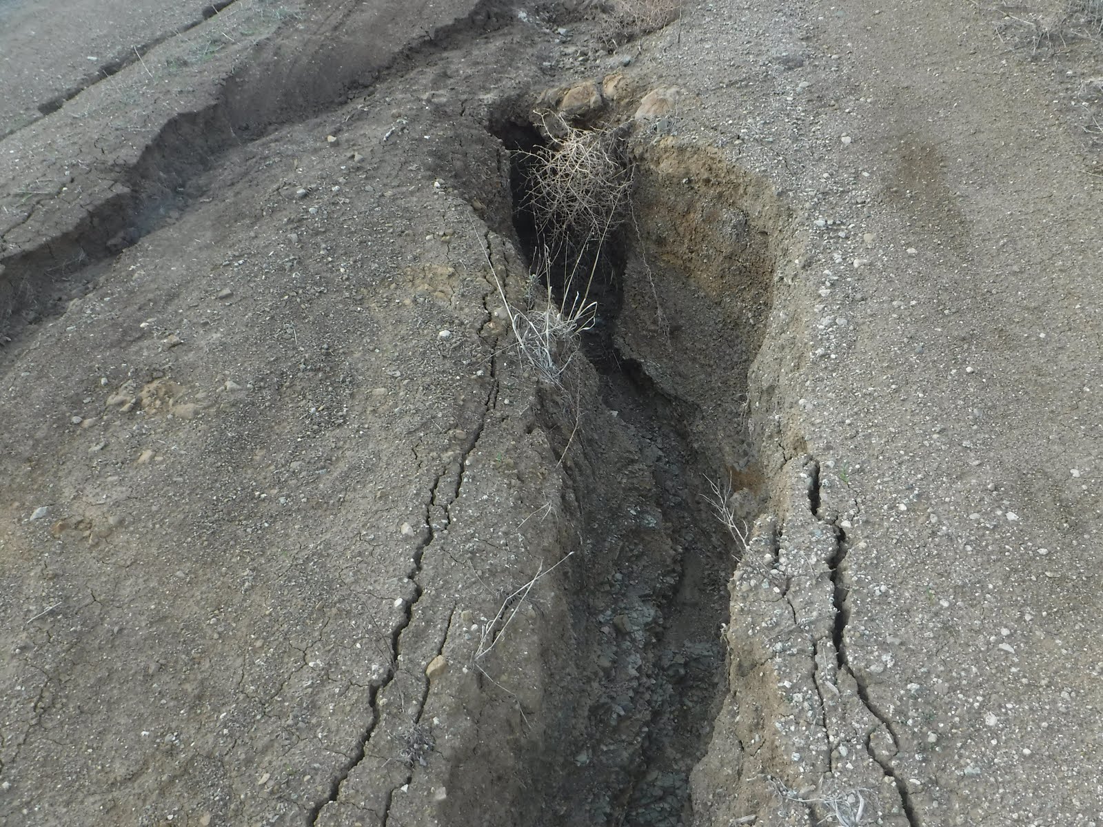
I continued up the road around the first mountain.  As I made it to the back side of the first mountain, I noticed that there had been some recent slides due to the rains.


As I continued on the road, Townsend Peak comes in to view.  To reach the summit, you actually walk past the summit, and cut back.  When on the back side of the mountain, you can't hear the freeway noise on the other side. 


I arrived at the summit and it took me a little time to figure out how to set up the antenna.  I put it in a different location this time, running from north to south.


Here is my setup for today using the KX3.


After the activation, I located the geocache at the summit.


Band conditions were not optimal today.  I could hear Scott, WA9STI, down below in the valley on 10m, but he couldn't hear me.  I also had a strong signal from K7HLN in Montana on 20m, but he couldn't hear me. Thank you chasers!

10m - N4EX, NG6R

20m - W0MNA, W0ERI, NM5S

40m - K7JFD, W7RV, NK6A 

Friday, November 20, 2015

Hoyt Mtn. W6/CT-146

We finally had a Friday without heavy winds, so I wanted to make a run up the Crest for an activation.  I had activated Hoyt Mtn in 2014, one of my early SOTA activations.  There are a couple ways to approach Hoyt, I chose the longer route from the Grizzly Flats Trailhead as I wanted some exercise.  This route is nearly 2.5 miles, most of which is a dirt fire road.  The last half mile leaves the dirt road to a use trail, with a nearly 600 foot elevation gain.


Parking is in a large turnout at 34 15.617 N, 118 11.544 W.  There is a lot of traffic on Angeles Crest Highway, so be careful when driving across the road.  After parking, take the Grizzly Flats Trailhead.  It is well marked and is the dirt fire road on the south side of the parking lot.  Shortly after hiking up the road, you will walk around a yellow gate.  Continue to follow the road.


After two miles, I was at the base of Hoyt.  Looking up, there is a false summit.


After the climb, I arrived at Hoyt Mtn.  The summit is level and there are plenty of places to set up the station.  There are many Yucca trees that can be used to hang the antenna.  Shortly after arriving, I made a summit to summit contact on 2m with Hal, N6JZT, who was on Calabasas Peak, W6/CT-214. 


I sat on a pile of rocks during the activation with a nice view of downtown Los Angeles in the background.  This is my second activation with my KX3.  I really enjoy the lighter weight and I am learning the various functions.


After the activation, I found and signed the summit log.  I then walked around, enjoying the nice views.  The first photo with summits in the background is Strawberry Peak W6/CT-018 on the left and Mt. Lawlor W6/CT-089 on the right.  The next photo shows Josephine Peak W6/CT-025.  Finally, Mt. Lukens W6/CT-030. 


It started to heat up on the summit and it was time to pack up and head on down the hill.  I stopped along the way for a few geocaches.


I made the following contacts:

2m - N6JZT, KB6CIO, K6ATO, K6CMG

10m - NG6R, NK6A

20m - W0MNA, KX0R, W0ERI

40m - W7RV, K6TUY, AA7DK