
Pt. 3788, CT-167, is on the northeast side of the Angeles National Forest. You can get there via the 14 freeway or exit on Oro Vista from the 210 freeway as I did. I enjoyed exiting at Oro Vista, getting a cup of coffee at Starbucks, and taking my time driving through the Angeles Forest watching the topography change. If you choose this route, stay focused on your driving as a lot of residents from the Antelope Valley drive through the mountains on their daily commute to Los Angeles. It took me about 45 minutes to drive to the parking area on Aliso Canyon Road. Pt. 3788 is located behind the rise in the center of the picture.


Here is a view of the parking area from the first hill. Although I have never had a problem in the Angeles, remember to lock your vehicle and do not leave any valuables in plain view. Vehicles do occasionally get burglarized. I was fortunate, as this is the first time I forgot to lock my door. I remembered when I was on top of the mountain.

There is no formal trail. Just follow the ridge line to the top. It is steep in a few places. It took me 57 minutes to get to the top and 31 minutes on the return. I stopped a few times on the way up to take pictures and play with the GPS (and get a breather).

Roxy went on ahead and was waiting for me to catch up on one of the hilltops.
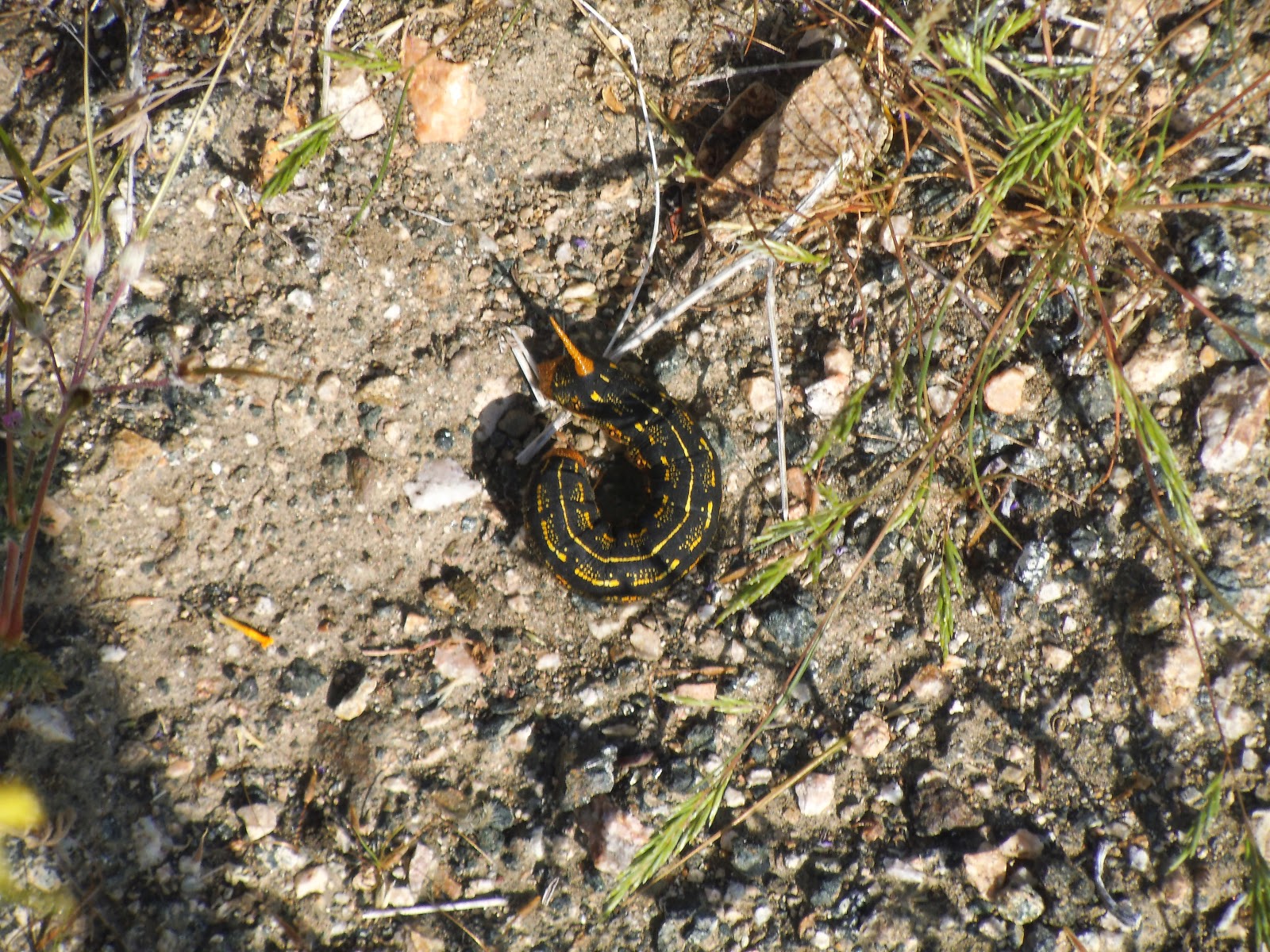
I am not sure what this is, but that horn on the head was weird. It looked like some type of caterpillar.

Pt. 3788 is straight ahead. I was a little concerned at this point, as the mountain looks bare. I was trying to think how I would set up the "Jackite" and antenna. I then remembered that Hal, N6JZT, mentioned in his blog that there is a post near the top.

This metal post appeared to be at the highest point on top of the peak. The SOTA coordinates are a few feet south and slightly lower.

The wooden post was easy to find, as there is not much on top. I was happy to have the post, as it was quite windy across the peak when I arrived. It may be a marker to indicate the forest boundaries, but there was no sign. To me, it looked like it was put there for the sole purpose to assist SOTA activators to use as an anchor for the poles.

I slope my antenna from north to south. This bush was nearly straight north of the wooden pole and I used it to tie off the antenna.

The clouds moved in while I was setting up and the temperature dropped. I am glad I brought my fleece pullover, as I almost left it down below where it was much warmer.
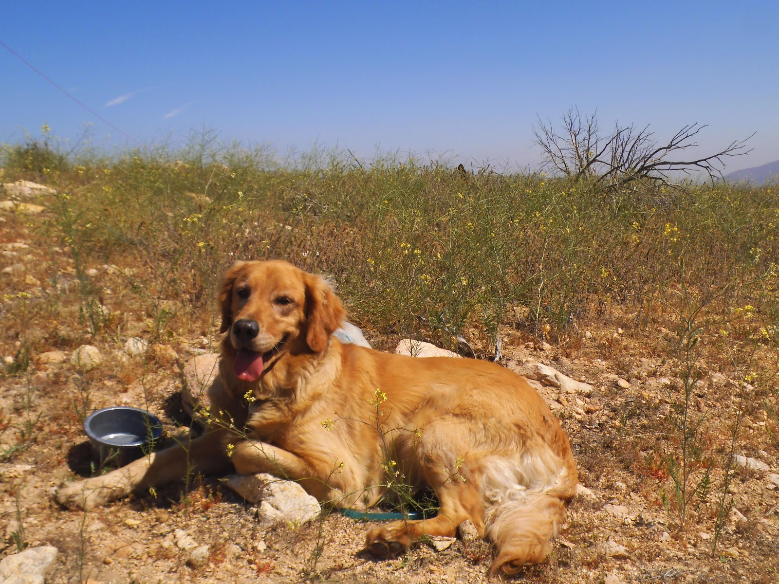
No shade for Roxy to take her nap.

Parker Mtn., CT-153 is in the center of the photo. Several fires have burned through these mountains the last several years and there is not much vegetation on them.

The 14 freeway splits the center of the freeway, leading to the Antelope Valley.

There were poppies scattered around the mountain.

Here is another colorful caterpillar, this time without the horn.

Driving home, we saw this dead rattlesnake in the middle of the road. This is a reminder when out hiking to be aware of where you are stepping and sitting down for your activation. These mountains have a lot of rattlesnakes and there are a few bites each year.
This was another awesome SOTA adventure. Thank you to all chasers and spotters. I made a Summit to Summit contact with Bob, KB6CIO, who was on W6/SC-362.
2m - no contacts
20m - WD9F, VE2JCW, W1MSW, NS7P, KB6CIO, WA9STI, WA2USA, W7PMF, KF7JQV
40m - K6EL, KB6CIO, WA6RIC, W7RV, NK6A, WA9STI, AE9F
12m - no contacts. Called "CQ" for 20 minutes.
No comments:
Post a Comment