I followed the trail from the directions provided in the posts by Bob, KB6CIO and Dan, NA6MG. On the way up, I took the longer, gradual path indicated in red on the below photo. It is just over a mile. On the return trip, I took the shorter, steep route, indicated in yellow.
The trail up is in really good condition and easy to follow. In the lower photo, you come to a fork. The trail to the right takes the gradual incline and the left fork takes you to Pt. 1821, seen in back of photo. The left fork is the steep route. I took the photo on the return trip, as there was so much fog on the way up, I couldn't see the hills.
I had the mountain to myself this morning. Someone stacked a pile of rocks to designate the summit.
Once on top, I immediately set up my equipment. I brought the Jackite, hoping there would be something sturdy to use as an anchor. I found a strong bush to use. I set up the antenna sloping, North to South. I recently got a new 10/20/40 antenna from LNR Precision. I have been happy with the other antennas I purchased from them. It was nice not to set up a new antenna every time I switched bands.
Here is a view from the summit when I first arrived. As you can see, there wasn't much of a view due to the fog.
I stopped and picked up a few geocaches along the way.
Here is a look going down the steeper trail on the return trip. Both trails are in great shape. There are some BIG houses nearby.
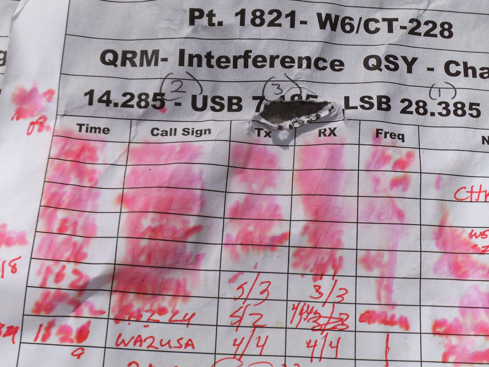
When I returned home and got ready to complete the activation log, I pulled out my log sheets from my backpack and noticed they were wet, smearing much of the logs. I had a contact from Portugal and two from Canada, as well as a diverse group from around the country, but I couldn't read some of the call signs from the log sheet.
2m - KM6CEM
10m - KB9ILT, K8LJG, EA8 PA7ZEE. KG3W, CT1HIX, WA2USA, W5CCT, AC1Z, EA2LU
20m - WB5USB, AE5B, NA6MG, KA5PVB, KF7JQV, W0MNA, W7CNL, NS7P, N4EX, AE9Q, K7ZO
40m - W7RV, K6EL, K6TUY


No comments:
Post a Comment